 Jayzee
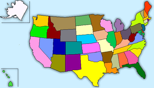
Bear USA map http://www.jayzeebear.com/map/usa.html Move the mouse cursor
over the map to see the name of the state in the text box
Jayzee
Bear USA map http://www.jayzeebear.com/map/usa.html Move the mouse cursor
over the map to see the name of the state in the text boxMarsha Chan, Mission College, Santa Clara, California, USA
To play the sounds on this page, your browser needs a plugin such as Apple Quicktime or Windows Media Player
Listen to each sentence three times. First, listen and try
to understand the meaning of the whole sentence. Second, listen
and write. Third, listen and check. Finally, listen and pronounce
the sentences with good pronunciation, phrasing, stress, rhythm,
and intonation.
Items 5-8 of the dictation have not been edited
properly. My apologies!
Listen to the pronunciation of each academic word in Activity 6.. Pay special attention to the syllable-stress code.
Listen to the sentences and complete each one with a word from the academic word list. Sometimes you will hear different forms of the words on the list. Write the form that you hear.
In Chapter 2, you practiced listening to numbers and exchanging information with number phrases . Now you will hear number phrases in the context of the geography of the United States. Listen to the sentences and write the numbers you hear.
Click here to see a physical map of the 48 contiguous states of the United States of America [contiguous] by Ray Sterner at Fermi at the Johns Hopkins University Applied Physics Lab.
Click here to see a political map of the fifty states of the United States of America from the Perry-Castañeda Library Map Collection at the University of Texas at Austin.
The lecture begins with introductory remarks about geography
in general and the geography of the United States. Then the lecturer
states that a very useful way to think about geography is in terms
of major themes. He tells us the number of major themes of geography.
After this, he explains each theme, and he gives examples with
Boston to help us understand the theme.
Listen to the lecture the second time. As you listen, raise your hand each time you hear the lecturer use a transition. Put a check by the transitions you hear.
Many lecturers give examples to support the major ideas. Some
examples are general, and others are specific.
Listen to the lecture again. Listen for both general and specific
examples. Fill in each blank of the outline e with a word or phrase.
Jayzee
Bear USA map http://www.jayzeebear.com/map/usa.html Move the mouse cursor
over the map to see the name of the state in the text box
Click here to see a physical
map of California by Ray Sterner at Fermi at the Johns Hopkins University
Applied Physics Lab
This table gives the latitude and longitude of various major
cities in the United States. The first column gives the latitude
in degrees and minutes. The second column gives the longitude
in degrees and minutes. http://www.bcca.org/misc/qiblih/latlong_us.html
Global Positioning System: A system of satellites, computers, and receivers that is able to determine the latitude, longitude and altitude of a receiver on Earth by calculating the time difference for signals from different satellites to reach the receiver.For a greater discussion of GPS, access the GPS Primer, an educational site by the Aerospace Corporation that answers questions such as What is GPS? What is Navigation? How GPS Works, and GPS Uses in Everyday Life http://www.aero.org/education/primers/gps/
Physical Geography http://geography.miningco.com/cs/physicalgeography1/
U.S. Census Bureau Maps and Cartographic Products http://www.census.gov/geo/www/maps/
Jayzee Bear USA map http://www.jayzeebear.com/map/usa.html
and http://www.jayzeebear.com/map/namerica.html
(Move the mouse cursor over the map to see the name of the state
in the text box.)
USGS Earth Explorer. Enter address or place name and zoom in. http://edcsns17.cr.usgs.gov/EarthExplorer/
Perry-Castañeda Library Map Collection http://www.lib.utexas.edu/maps/united_states.html#usa
This table gives the latitude and longitude of various major cities in the United States. The first column gives the latitude in degrees and minutes. The second column gives the longitude in degrees and minutes. http://www.bcca.org/misc/qiblih/latlong_us.html
Official songs of the 50 states of the USA: Read the lyrics and hear the tunes.
If you have trouble accessing the sound files, your browser's audio plugin may be out of date.
COC1 home | Marsha Chan's email | Marsha Chan's home page | Mission College | WVMCCD AngelLearning